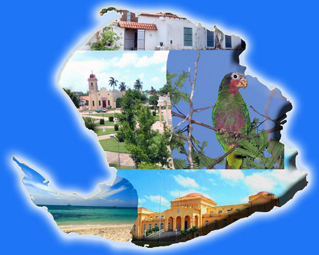
La Isla de la Juventud is located north of the Caribbean Sea, bordered on the north by the Gulf of Batabano: to the east by the insular waters of the province of Matanzas,on the south and west by the Caribbean Sea.
It is the second island in size of the Cuban archipelago, the sixth largest of the Antilles and the largest in the archipelago of Los Canarreos, having 670 islands or cays, with 3,056 square kilometers, stretching about 150 kilometers in a sea of little depth, closing the wide Gulf of Batabano.
The island has an area of 2,200 square kilometers, at a distance of 94km. from the south of Cuba. Next in importance is Cayo Largo del Sur with 37 square kilometers and with an acceptable tourism development, its name is due to its 27 km of coastline.
There are other keys, such as: Del Hambre, Alacranes, Manteca, Inglesitos, Bocas de Alonso, Aguardiente, Cantiles, Rosario, etc. |

