| |
Finlay Cave
This Cave is in the bay of Caleta Grande on the southwest coast of Isla de la juventud. 14 pictographs with a series of concentric circles in black and red, were fond inside, very similar to those of Punta del Este as part of the so-called culture of the circles. Explored in 1977 by the working team of Alejandro de Humboldt. |

Cueva Punta del Este - Isla de la Juventud

Cueva Punta del Este - Isla de la Juventud

Cueva Punta del Este - Isla de la Juventud

Cueva Punta del Este - Isla de la Juventud

Cueva Punta del Este - Isla de la Juventud

Cueva Punta del Este - Isla de la Juventud

Cueva Punta del Este - Isla de la Juventud

Cueva Punta del Este - Isla de la Juventud

Cueva Punta del Este - Isla de la Juventud

Cueva Punta del Este - Isla de la Juventud

Cueva Punta del Este - Isla de la Juventud

Cueva Punta del Este - Isla de la Juventud

Cueva Punta del Este - Isla de la Juventud

Cueva Punta del Este - Isla de la Juventud
|
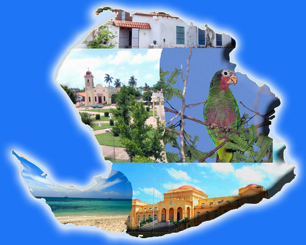
Punta del Este Caves
They reach the extreme south east of the Isle, it the main way of communication from the city of Nueva Gerona, It is where the weather station is situated. From it can be appreciated the beauty of the landscape, flora and fauna characteristic of the place, then you realize you've arrived at Punta del Este.
A rich biodiversity can be beheld including the lush vegetation and a rich and diverse terrestrial and marine fauna.
The site is prominent for the existence of a cave system of four caves, where the No. 1 in which 213 pictographs can be seen. That represents almost a third of those found throughout the country, that led t Fernando Ortiz to call it "The Sixtine Chapel of the Caribbean rock art.
In 1979 it was declared a National Monument by the National Commission of Monuments.
The first report of this cave is in the book "Through Cuba" by theFrench geographer Charles Dorchon published in 1903. Later, in 1922, Fernando Ortiz reported to the Academy of History of Cuba on the finding of a "Pre-Columbian temple," referring to the cave # 1 of Punta del Este.
The generality of the pictographs in this cave, which adorn the ceilings and walls, consist of concentric circles, uninterrupted series harmonious colored with alternating red, black and sometimes white rock itself, although there are also other designs.
Other Cuban researchers have also contributed to the speleological study of the site such as the Guamá assembly and the Speleological Society of Cuba headed by Dr. Antonio Nuñez Jimenez.
The main natural attributes that characterize this site are the "cerro caudal" with an elevation of 28 meters above sea level, the only orographic alteration throughout the South of the island, shaped with marble rocks on limestone, so its geological nature is different from the rest of the island.
Its varied vegetation includes mangroves, coastal formations and subcoastal, which excels uveral coast, considered one of the best preserved areas in the country.
There is also a complex aquatic vegetation dominated by sea and a unique pine forest on limestone.
There is also a rich and variety of birds, reptiles and mammals, and a wide variety of mollusks, which gives it a significant biodiversity to the site, for this reason it was proposed as a protected area in 1979 by the Institute of Botany.
|


