RESERVOIRS / DAMS, PONDS AND RIVERS
Despite its small size, there are many water streams in the island.
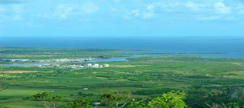
Some with a constant flow, and of course most are short and shallow, but in the rainy season a large flood flows on the surface due to the mountain system and the waterproofing of the soil. For this reason, there is a large underground water storage that can be accessed to through wells with shallow drilling. All rivers are short length.
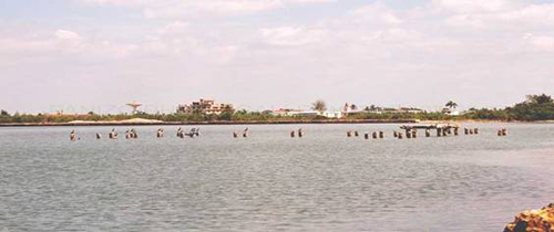
Its hydrography is made up by the major rivers: Las Nuevas Las Casas and Santa Fe. All of them are navigable, also the San Pedro, Júcaro, La Jagua, Del medio , Los indios.
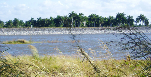
The River Las Casas is the most important one. It rises in a rolling plain located 20 m above sea level. It has an approximate17 km of length and 14 small tributaries. Bounded on the north by the Caribbean Sea where it flows into a wide estuary, south to the basin Júcaro, east basins with Simon and Soursop and west by the watershed Los Muertos. It Is dammed in the "Las Casas Dos" reservoir.
Their margins have some meandering, yagrumas fields, rose apples and marabou. There are places near the hotel Rancho where natural plantations and royal palms are found. There is a gentle slope which is washed by the sea; it's muddy in its mouth and navigable by 6 km.
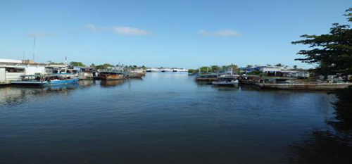
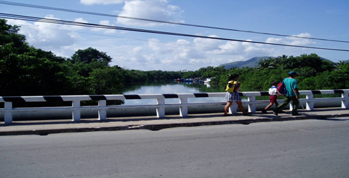
Through the city of Nueva Gerona from south to north, it is used for various activities, such as maritime-port transportation, sports, industrial activities and others.
Some of the northern plain rivers flow into the Lanier Swamp, as San Pedro, Las Tunas, La Jagua and Santiago.
Other important streams are: Las nuevas , Rio de enmedio, Júcaro, Guayabo and Los Indios , running through this very important area of the same name. Las Nuevas is the largest and longest river with 28 km, running from south to north. It has 6 tributaries, formed from the waters of "El Callejon" and "El Piedras" at a height of 30 m. and flows into the dam of "Las Nuevas."
The main rivers are dammed for their waters to be used for the benefit o the population. |
|
| |
|


